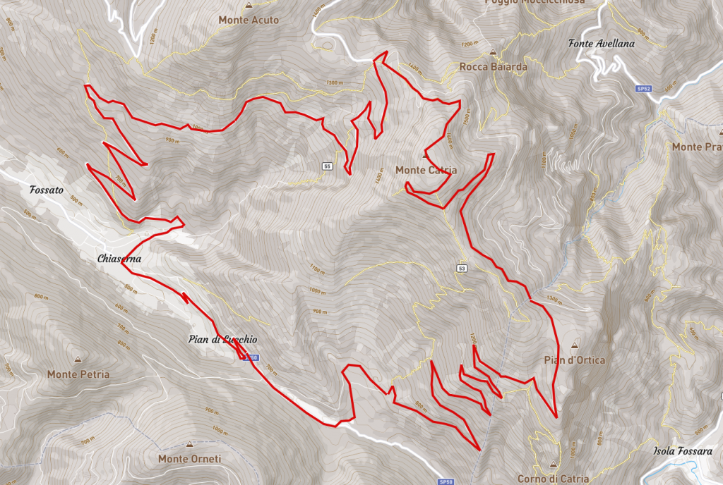
Route: Chiaserna – Rifugio Ca Strada – Rifugio Boccatore – Pian d’Ortica – Cima del Catria – Rifugio Fonte della Vernosa – Chiaserna
Time 3 hours– Distance 30km – Altitude difference 1400m
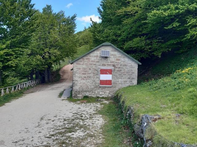
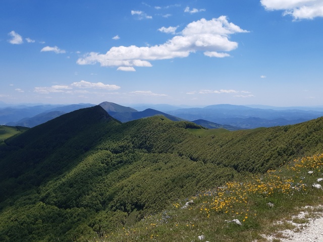
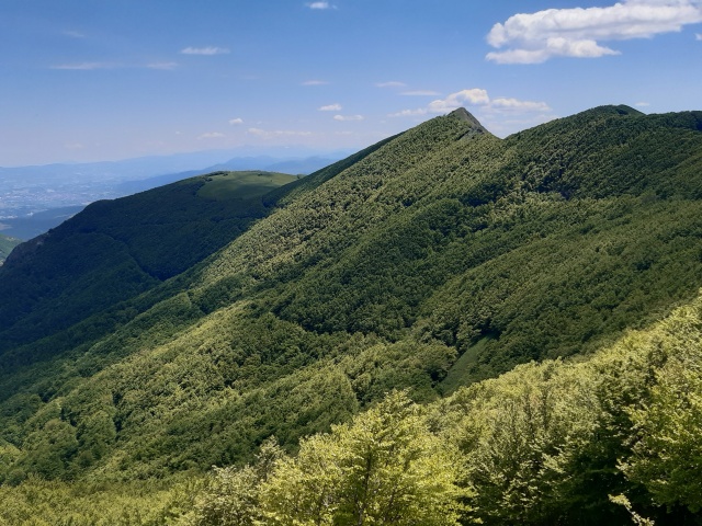
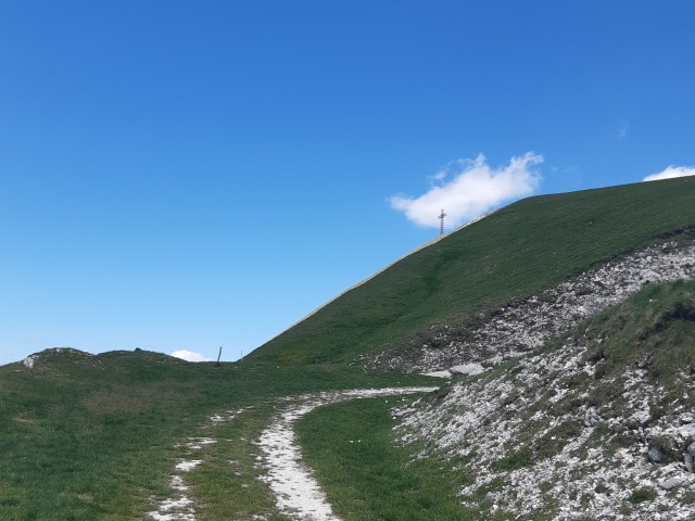
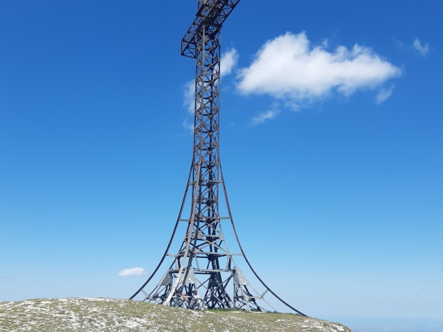
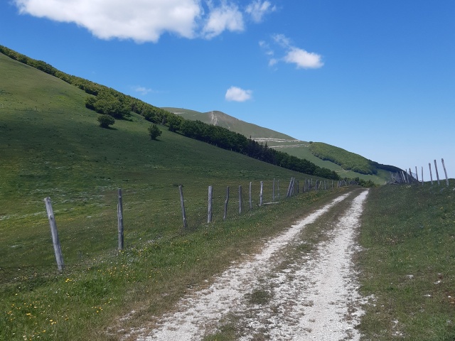
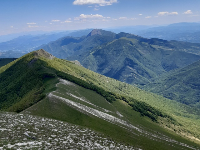
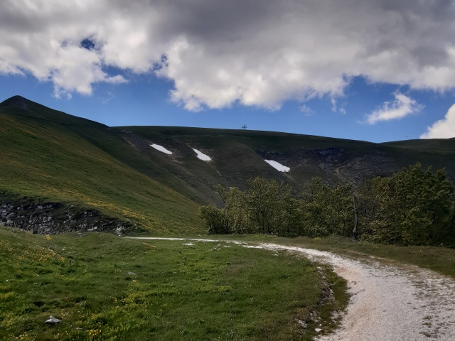
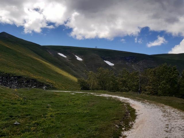
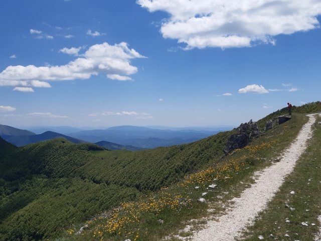
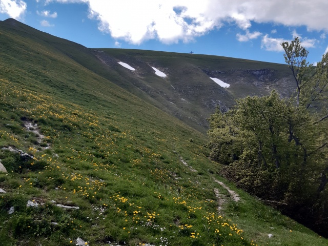
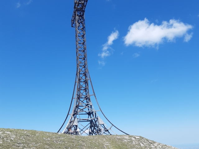
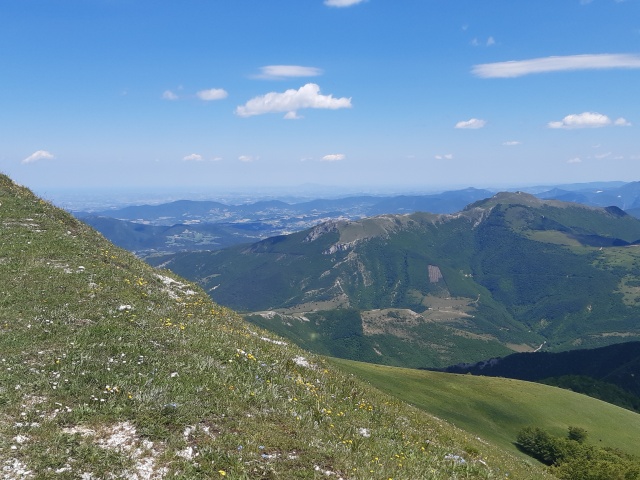
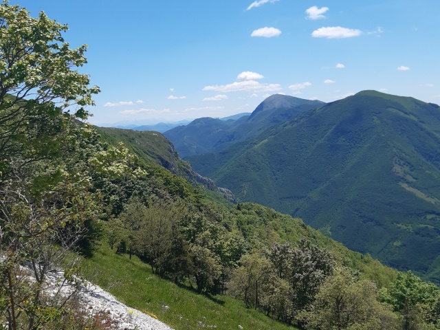
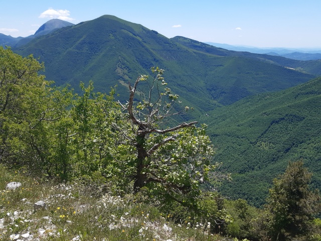
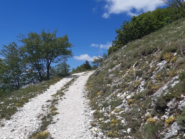
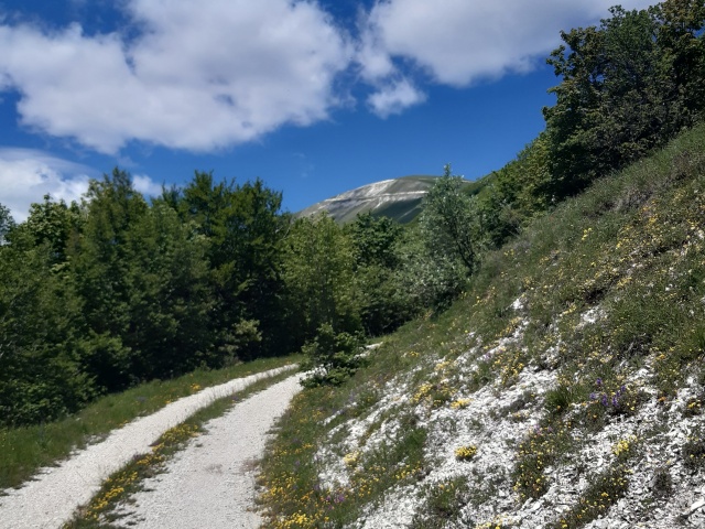
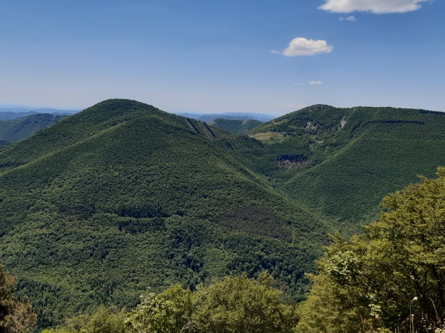
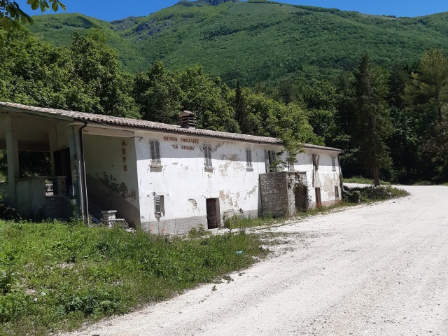
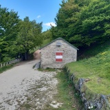
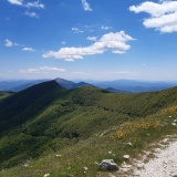
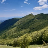
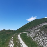
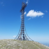
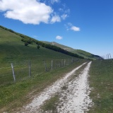
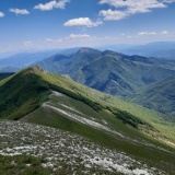
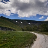
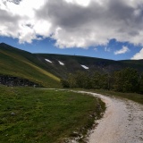
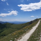
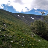
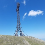
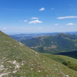
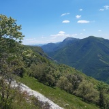
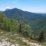
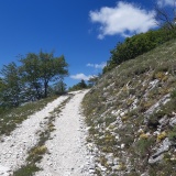
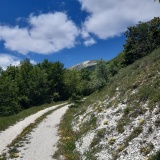
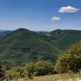
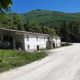
Start out from Chiaserna, near the K2 bar. Continue on asphalt in the direction of Valdorbia for the first few kilometres, until reaching the dirt track on the left that passes right in front of the now disused Ca Strada refuge. Taking care to keep to the right at a couple of crossroads so as not to stray onto the minor roads leading to the quarry and charcoal pile (closed), continue until you meet the signs of the path that climbs the ridge at the end of the Balza degli Spicchi. From there, there can be no more mistakes, just continue on the obvious dirt track, always uphill. As we ascend, the panorama begins to change, we catch a glimpse of the Corno del Catria and slowly arrive at the Boccatore refuge inside the woods and the Monte Cucco regional park (the only protected portion of the Catria massif). We climb to Pian d’Ortica and, circling around Balza degli Spicchi, we reach the junction with the road that descends to Fonte Avellana. Continuing straight on uphill, we leave the woods and follow the last part, still on a dirt road (wide but quite challenging because of the stones) until its end. From here we continue for the last short stretch on a very demanding slope to be done most likely by pushing up to the summit of Catria. The descent is on the path that leads to the Vernosa refuge and from there we join the dirt road that takes us to the Infilatoio and then comfortably descend again towards Chiaserna.
Download the GPX file
gpxMonteCatria
