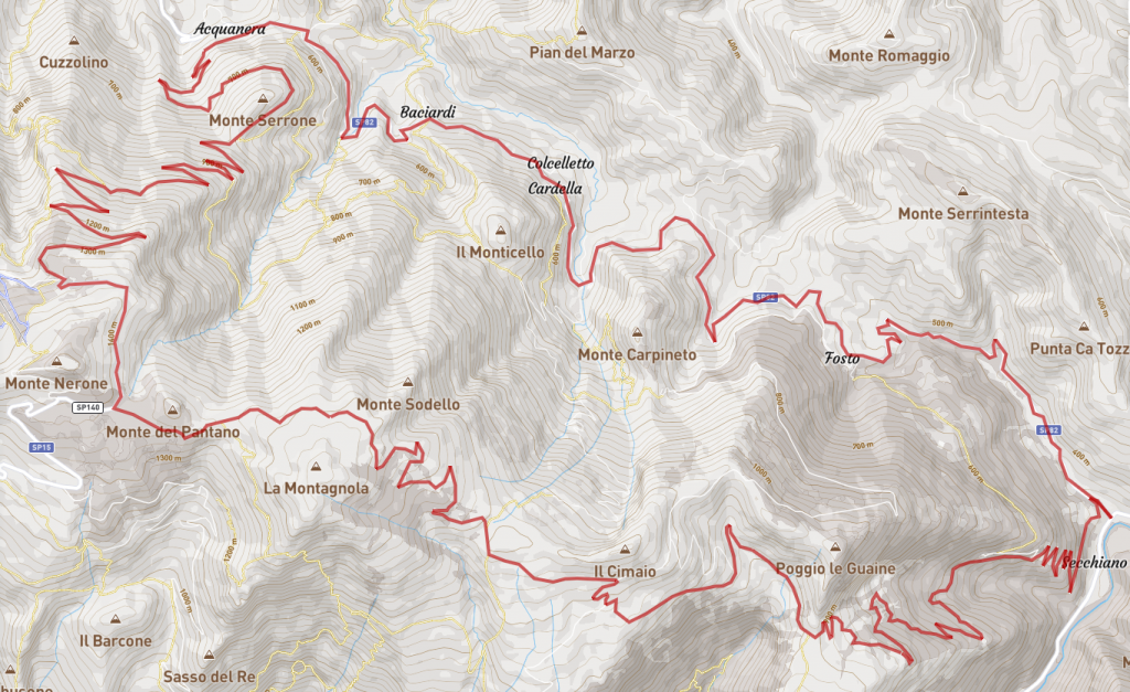
Route: Secchiano – Fosto – Cardella – Baciardi – Rocca Leonella – Rifugio Corsini – Poggio le Guaine – Via Stratta – Secchiano
Time 3.5 hours– Distance 38km – Altitude difference 1600m
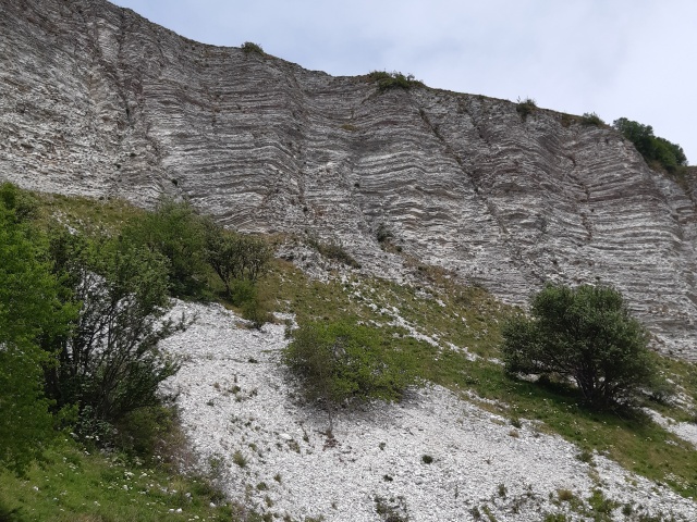
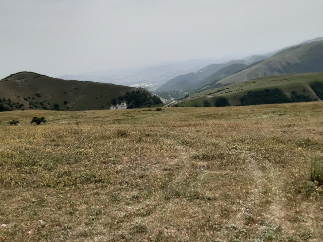
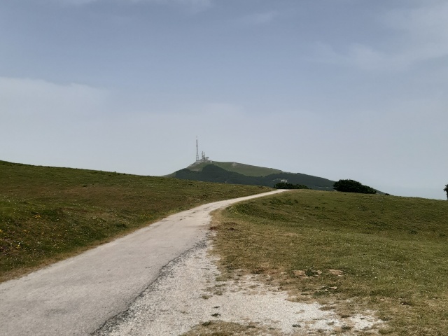
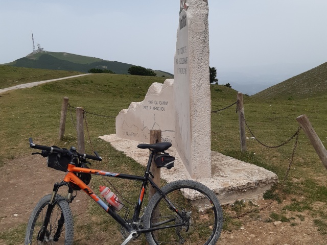
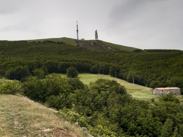
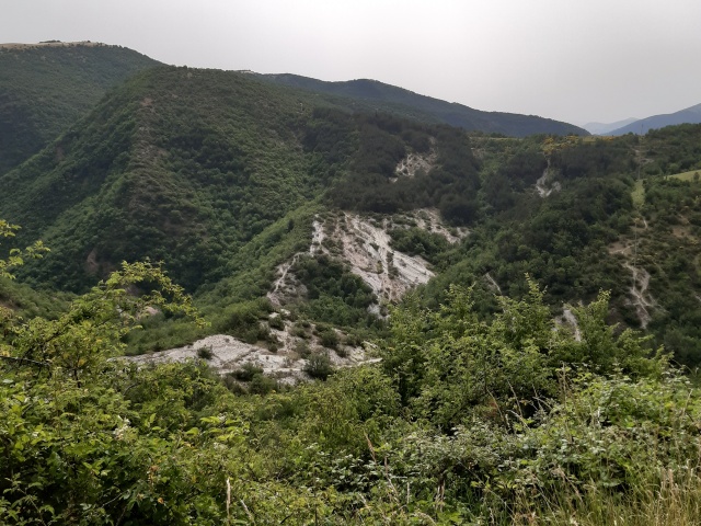
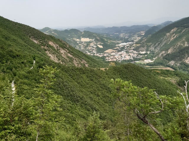
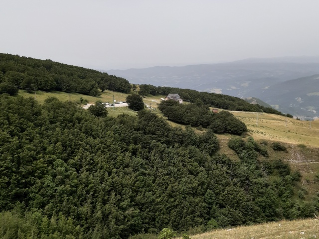
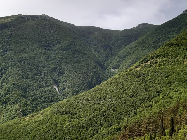
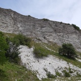
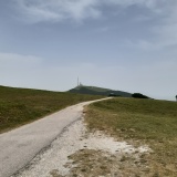
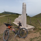
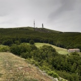
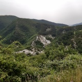
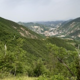
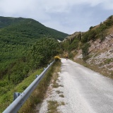
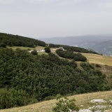
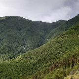
We leave Secchiano di Cagli and take provincial road 82 towards Piobbico. We continue on asphalt, passing the small villages of Fosto, Cardella, Baciardi and arrive at Rocca Leonella where, shortly after the church of San Lorenzo, we turn left onto the road that climbs to Nerone. The climb is very hard and long, and the condition of the old road, now almost disused, makes the slope even more difficult. At the exit of the wood, the restored Corsini refuge and the summit of the Nerone with its antennae appear. Leaving the hut on our right, we continue along the road that goes around the summit. We pass the scout colony and turn left at the fork, just before reaching the Cupa refuge. Continuing along the asphalt road, we arrive at the memorial stone commemorating the passage of the Giro d’Italia and begin to descend. We pass the fork for the Ranchi di Fosto road and immediately afterwards take the track to the left that will take us down under the beautiful wall of Poggio le Guaine to Via Stratta and then back to Secchiano.
Download the GPX file
gpxMonteNerone.gpx
