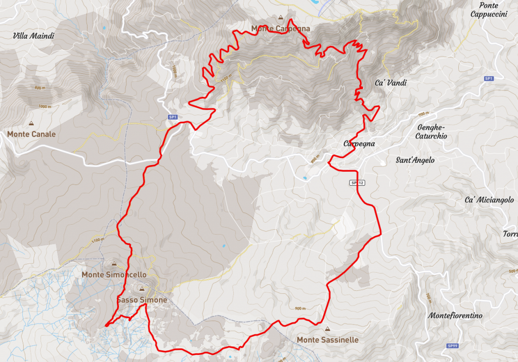
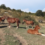
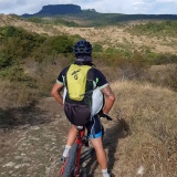
Route: Carpegna – Parco faunistico – Sasso Simone – Cantoniera – Cippo – Cima Carpegna – Carpegna
Time: 3 hours– Distance 30km – Altitude difference 1000m
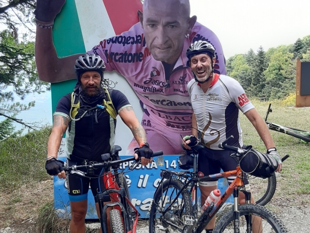
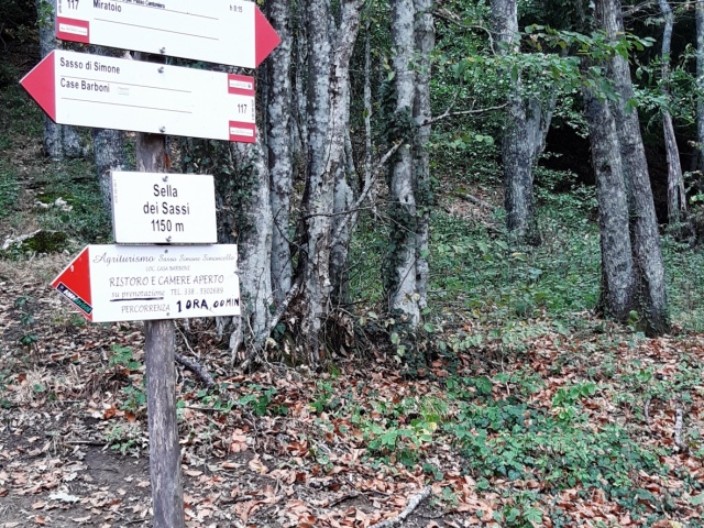
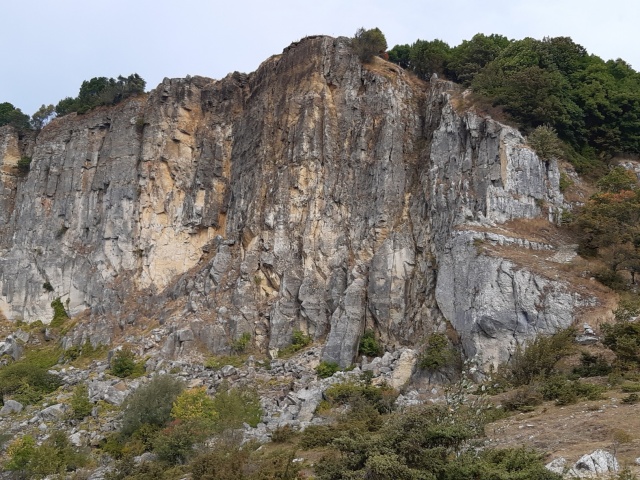
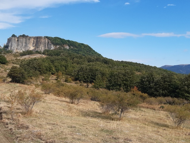
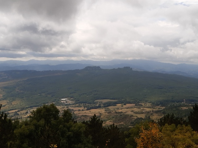
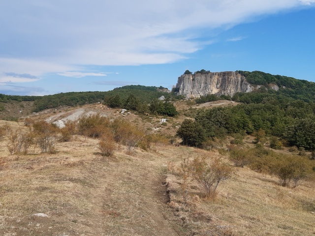
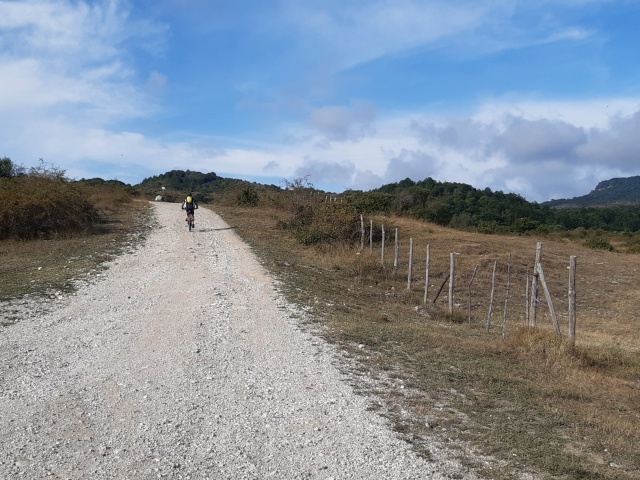
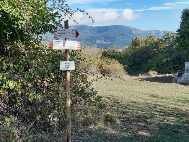
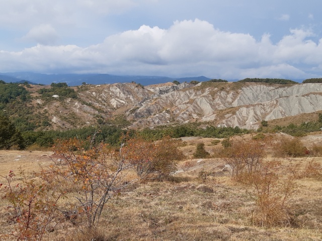
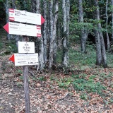
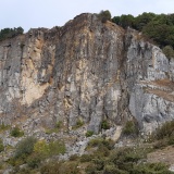
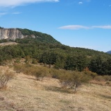
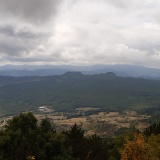
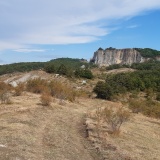
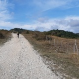
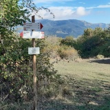
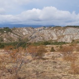
Starting from Carpegna, descend along the road towards S. Sisto / Belforte all’Isauro and continue as far as the junction for Pian dei Prati. When you reach the end of the road near the campsite/restaurant, continue straight along the dirt track following the red/white signs towards Sasso Simone. Continue along the path until you reach below the two Sassi. If you want, you can climb up to the top of Simone here and see the ruins of the City of the Sun. Otherwise, you can descends and ascends again through the gullies until you meet the path coming from Miratoio. Take a right in the direction of Cantoniera. From here, the path changes again and plunges into the dense cerreta forest until it comes out on the road at the Cantoniera. Take the asphalt road in the direction of Carpegna and then, not to be missed, climb up to the Cippo of Pantani. From here you descend again to Carpegna. If you wish along the descent, you can deviate to the left onto the ridge that leads above the lifts and the Trabocchino Pass before descending to the village.
Download the GPX file
gpxSassiCarpegna.gpx
